[Yesterday: 3 miles on a treadmill]
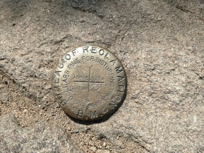
I have two recent pictures of survey benchmarks. This first is from the top of Deer Mountain in RMNP. I’ve looked at it and I don’t see the elevation, only a directional arrow.
The second is from the Bluff Trail at the Plymouth Bluff Center near Columbus, MS. 
The designation appears to be 36A-2. I thought the number (460.65) was the elevation. Sounded high to me so I looked up an online topographical map. No, the elevation is closer to 200 ft. I don’t know what the 460.65 means.
What I could do is go back and get the latitude and longitude and add it to the list of markers on geocaching.com.